
Oyster Bay Neighbor Records
The useful record trail for Oyster Bay neighbors is spatial first. The Nassau GIS map sets out the parcels and place boundaries surrounding an address. The Nassau County Land Records Viewer, called LRV, can then supply assessment context for a selected parcel, while the Nassau County Clerk, Land Records holds the recorded deed and map trail. An SBL is the Section, Block, and Lot identifier used to follow that parcel. Those records often identify a legal or ownership relationship. They do not establish an occupant roster, and a tax-mailing address can point to an owner, estate, or other correspondence contact outside the block.
| Source | What It Shows About a Block | Access |
|---|---|---|
| LRV and Nassau GIS parcels | Parcels, lots, address keys, adjacent geometry, roads, boundaries, and map layers | Free map and address/SBL route; the parcel layer itself has no resident name. |
| Nassau Clerk deeds and maps | Conveyances, legal descriptions, subdivision context, and recorded maps | Land Records portal and Clerk channels; copy access varies. |
| Town permits or code records | Address-linked work, inspections, or a reported code condition | Portal or FOIL route; a report is not a finding and identity limits apply. |
| New York voter record routes | Individual current registration or legally requested voter-file fields | Individual tool; broader files have election-purpose and use restrictions. |
| Town community resources | Institutional contacts, service geography, and local categories | Public community page; no member roster is published as a single directory. |
| Library and Historical Society | Older directories, newspapers, maps, and civic history | On-site, database, or inquiry channels; historical coverage is incomplete. |
For a block question, record the exact situs address and parcel key before moving to another source. The source sequence prevents a mailing-city label or a similar street number from being mistaken for the same location. Note: Neighboring parcels give spatial context, not confirmation that people in two homes know each other.
Oyster Bay Neighbor GIS Method
The Nassau LRV map supports Search by Address, Search in, Go, Clear, Layers, Tools, and an Identify toggle. Turn on Parcels and Lots, then zoom until each polygon is clear. The map also includes roads, parks, place boundaries, 2013 aerial photos, FEMA flood zones, Nassau 1926 and 1950 maps, and New York State map layers from 2000 through 2013. Its measurement tools report area, distance, or location. Those tools describe the block's geography rather than its households.
The LRV parcel map shows the address search, layer controls, Identify tool, and the parcel-focused view used to inspect adjacent lots.
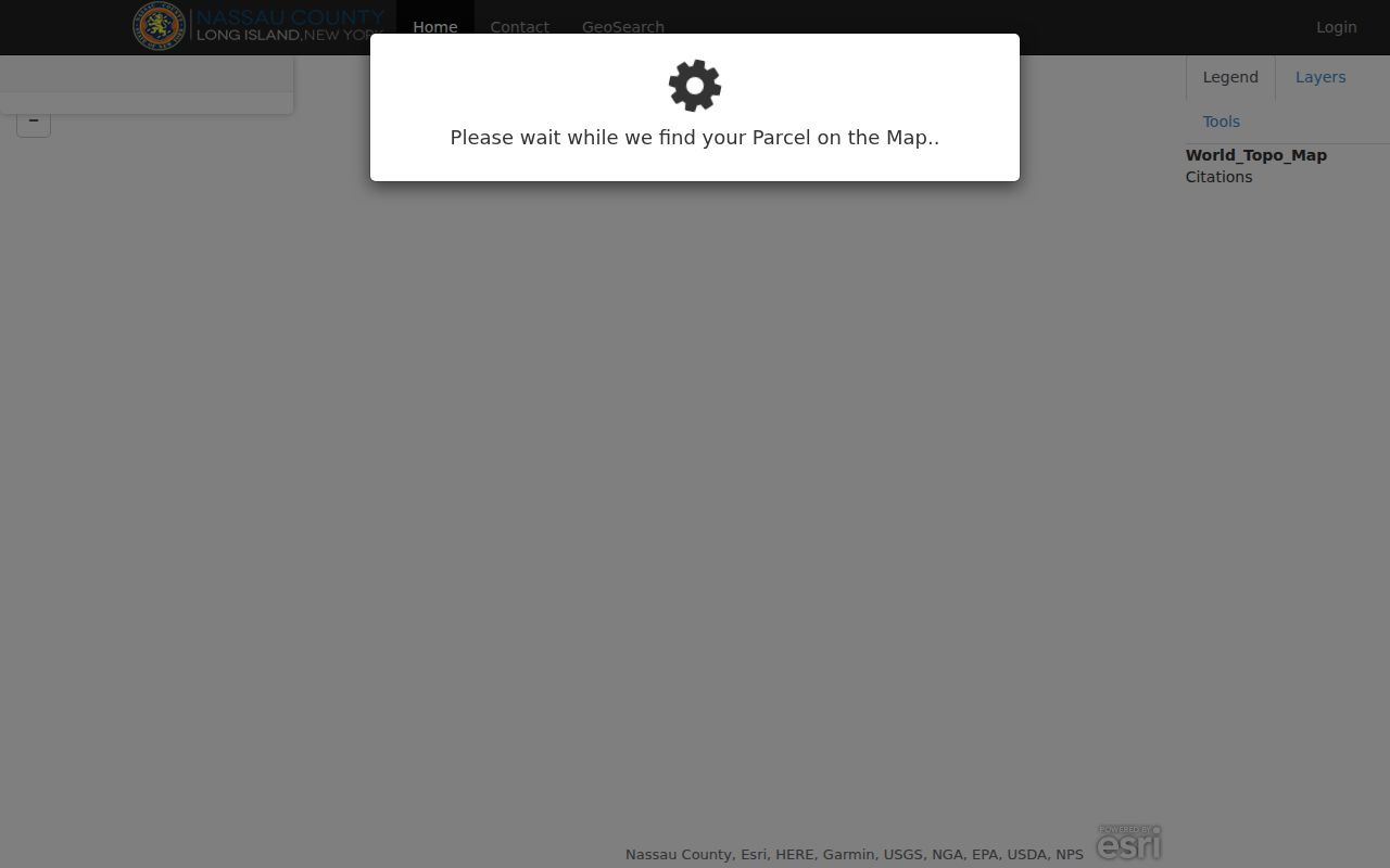
The underlying parcel layer exposes polygon geometry, parcel identifiers, parcel address, and roll year. It does not expose a resident name. Use its adjacent polygons as links to the next parcel or assessment check, not as a radius-based person search.
Nassau Assessment says it maintains property records and tax maps for more than 423,000 properties. That countywide scale makes the map a good way to hold the immediate block in view, especially where Oyster Bay hamlet, village, and mailing labels diverge. Check the place-boundary layer before assigning a municipal context, then retain the parcel key as the stable bridge to the assessment and Clerk systems. Historic map layers can add built-environment context, but they do not identify current occupants.
Oyster Bay Neighbor Parcel Limits
Three address facts can differ: the situs address where the parcel sits, the tax-mailing address used for correspondence, and the legal description or SBL used for land records. LRV is address/SBL-oriented. Its public form has Section, Block, and Lot fields, or House Number, Name of Street, Town, and ZIP. The instructions say to omit directional prefixes and street-type endings. No public owner-name input was located, so begin with the address or SBL rather than promising a name-to-parcel route.
| Official parcel and deed records | Show a parcel, recorded conveyance, or legal relationship at a stated time. Confirm the same SBL and legal description when comparing entries. |
|---|---|
| Commercial neighbor tools | May compile old addresses, public filings, marketing data, and licensed sources. Their results can lag, merge people, or retain protected information incorrectly. |
| Best practice | Use the official source for the specific question and request an original record from the custodian when a result needs confirmation. |
The Nassau Clerk's electronic property database begins in July 1992, while its separate historic portal labels official records from 1840 to 1982. The overlap, gaps, and image availability require a live check with the Clerk. A deed shows conveyance, not occupancy.
Oyster Bay Neighbor Voter Limits
The New York Voter Registration Look-up is individual and current. Its inspected fields include county, last name, first name, date of birth, and ZIP, with address instructions also present. It can return registration or polling information, or a non-match. It cannot produce an official all-voters-on-this-block screen. A missing result does not show that someone is absent from the area, and an individual result does not prove that every occupant at an address is registered.
New York permits selected voter-file information under Election Law, but a statewide or multi-district request must state an elections purpose under Election Law §3-103(5). Sensitive identifiers, signatures, and protected addresses are excluded or protected. Use the Board of Elections route for a lawful, specifically described election record, and do not turn voter material into a block-by-block publication.
Oyster Bay Neighbor Community Resources
Town of Oyster Bay community resources add a civic layer to a block without claiming to identify its members. The Town's resource categories include chambers and civics, community centers, fire departments, hospitals, incorporated villages and unincorporated areas, libraries, police, school districts, scouting organizations, utilities, and water districts. The inspected page does not offer a single umbrella neighborhood-association directory or a private member list. The right use is to locate a relevant institution or jurisdiction, not to infer household membership.
Local history contacts
Libraries and the Oyster Bay Historical Society can help with an older named street, newspaper notice, map, or civic organization record.
Service geography
Fire, water, and school districts are useful for public-service boundaries and institutional contact, not resident lists.
Civic directories
Town-listed chambers, civics, community centers, and village governments are starting points for public contact information.
The Town community-resources directory is the source shown here for its institutional categories and local leads.
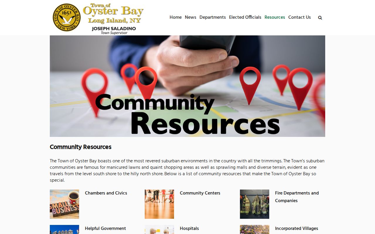
Newsletters, programs, and historical materials can document public activity after the fact. The research found no public block-watch or congregation membership roster, so do not state that any group publishes names without checking its current official page.
Oyster Bay Neighbor Precincts
Oyster Bay's records geography is not one central neighborhood. The Town police resource page places Bayville, East Norwich, Hicksville, Jericho, Locust Valley, Oyster Bay, Plainview, Syosset, and Woodbury in the Nassau Second Precinct. Glen Head, Glenwood Landing, and Sea Cliff are in the Sixth; Massapequa, Massapequa Park, and North Massapequa are in the Seventh; Bethpage, Farmingdale, Old Bethpage, and South Farmingdale are in the Eighth. Several villages have their own departments.
The Town precinct and department page helps select an appropriate local contact route. These precinct labels are not municipal-boundary, postal, or residence lists. A parcel SBL and the GIS place-boundary layer remain the safer bridge when a mailing city creates uncertainty.
Oyster Bay Neighbor Registry Limits
The New York Sex Offender Registry public search is a statutory registry with its own field and use limits, not a roster of Oyster Bay neighbors. Public online information covers specified Level 2 and Level 3 records. The search interface offers a choice of last name, county, or ZIP and uses a CAPTCHA. Custody exclusions and other scope limits apply.
The official registry search displays its selected search routes and restrictions.
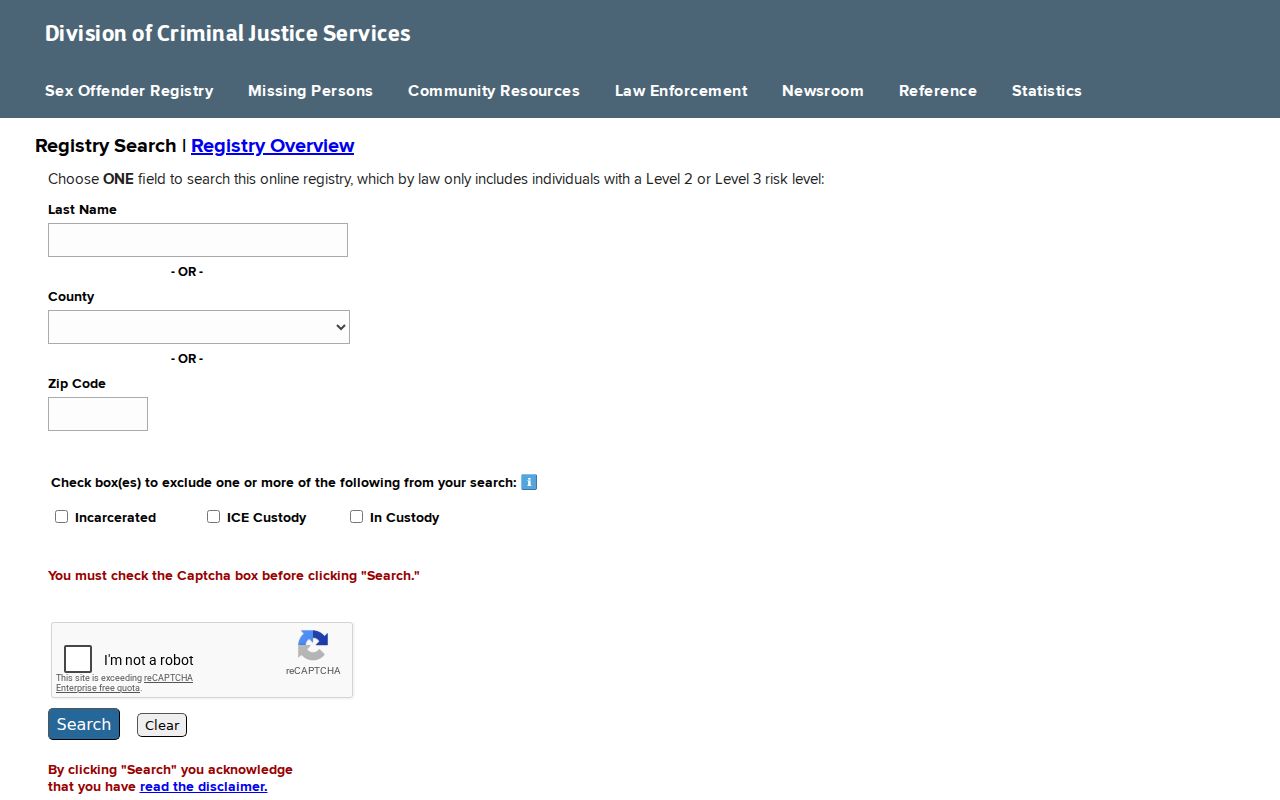
Use only the official record for the narrow statutory purpose it serves. Never use a registry result to generalize about a block, profile people nearby, or infer facts about anyone not named in the official record.
Map an Oyster Bay Block
Follow an address outward one parcel at a time. This method retains the physical relationship between lots while keeping ownership, occupancy, and civic information separate. The LRV map's Identify control and the assessment link are the practical handoff. If the aim changes from an immediate block to a full named street, the Oyster Bay street directory process is the better address-by-address record chain.
- Search the known address in the LRV map, preserve the displayed address and parcel key, and turn on Parcels and Lots.
- Use Identify on an adjoining polygon, recording only the next parcel key and situs address before moving outward.
- Open the selected parcel's LRV record for roll and assessment context, then use its SBL or legal description for Clerk research when needed.
- Check the place-boundary layer when the mailing city, village, or Town context is uncertain. Stop rather than guessing at an occupant.
Area and distance tools can document the shape of a block, but no official radius-based people search was located. Note: A measured distance is a map fact, not evidence of a household relationship.
Oyster Bay Neighbor Privacy
Much of a block is properly private. Parcel records may omit occupants and household members. Utility and delivery accounts are not public neighbor evidence. DMV address information is protected, and New York's Address Confidentiality Program can provide a substitute address and mail forwarding for eligible participants. A protected or substituted address must not be reverse-engineered through parcel, voter, court, or commercial sources.
For an existing Town record that is not posted online, use a reasonably described request under the New York Freedom of Information Law, Public Officers Law Article 6. Name the record type, address or SBL, and date range. Ask the custodian what is withheld and why, then respect that boundary.