
Oyster Bay Previous Residents by Era
For a Town of Oyster Bay address, use the time period to choose a starting source. A current parcel result gives the Section, Block, and Lot, or SBL, that links an address to the land-record trail. The deed index documents a conveyance, while a directory or census may show a reported household. Maps and permits can date a building or change without identifying who lived there. The table keeps those roles separate and names the documented coverage gaps.
| Source | Years It Covers | Where Held | What It Shows |
|---|---|---|---|
| Nassau deed index and database | Electronic property database from July 1992; historic portal labeled 1840–1982 | Nassau County Clerk online and office | Conveyances and legal instruments; image and index overlap needs verification. |
| Nassau assessment and LRV | Current display; sample roll years 2023–24 through 2028 | Nassau Land Records Viewer | Parcel, roll, assessment, and deed-reference context, not a household list. |
| Nassau directories | 1868–1869 and 1909–1913 identified | Library and NYG&B leads | Historical name or address evidence; exact local titles and reverse runs need confirmation. |
| Federal census | 1790–1940 in HeritageQuest; public release through 1950 | Library and archival databases | A household snapshot at a decennial date, not annual occupancy. |
| Sanborn maps | North Oyster Bay 1885; Oyster Bay 1891, 1897, 1902, 1909, 1915 | Library of Congress | Structure and use context, not a complete Town-wide person record. |
| Town permits and code records | Current portal; historical retention cutoff not published | Planning and Development or FOIL route | Work, permit, or inspection dates; applicants are not necessarily occupants. |
| Historical Society collections | Town records 1653–1878; holdings 1680–present | Oyster Bay Historical Society | Genealogical, cemetery, church, manuscript, and family-history leads. |
Start with the source nearest the period in question. If a recent deed is known, follow it backward. If the question predates the electronic index, move toward historic files, maps, library directories, and archival assistance instead of filling a gap with an assumption.
Oyster Bay Parcel Records First
An Oyster Bay address has three related but different identifiers: the situs address where the parcel sits, the tax mailing address used for correspondence, and the legal description or SBL used in land records. They can differ. The Nassau County Land Records Viewer accepts an address, SBL, or landmark search. Its public address route asks for house number, street name, town, and ZIP, while the SBL route uses Section, Block, and Lot. The instructions say to omit directional prefixes and street-type endings when searching by street.
The LRV is an assessment and parcel starting point. It may show a roll year, deed reference, land title or category, class, description, school code, lot grouping, assessment, exemptions, and comparable-sale context. No owner-name search field was found in the public screen. A parcel result should therefore lead to a Clerk search or a records request, not to a claim that every person associated with the property lived there.
Note: Retain both the street form and SBL because the Clerk and assessor can use different SBL formatting conventions.
Trace Oyster Bay Deed Records Backward
The Nassau County Clerk land-records service is the authority for recorded deeds and the legal description. Begin with the current parcel's SBL or address, find the most recent conveyance, and capture the document or liber and page number, recording date, grantor, grantee, and legal description. The current owner as grantee provides the route to an earlier purchase; the earlier seller becomes the next person to check as grantee. Confirm the same lot at every step with the SBL and legal description.
- Open the parcel result and write down the SBL, deed reference, and situs address.
- Search the Clerk's land-record path for the latest deed and record the transfer details.
- Use the buyer, or grantee, to locate that person's earlier purchase of the same lot.
- Check the prior deed's seller, legal description, and SBL before continuing backward.
- When online coverage ends, request the older deed book, map, or document through Clerk room B-1 or by mail using the SBL.
- Grantor and grantee
- The grantor transfers an interest in a document; the grantee receives that interest.
- Chain of title
- The dated sequence of conveyances for the same parcel, tested with the legal description and SBL.
- Legal description
- The recorded land description used to identify a parcel more reliably than an old street spelling or unit number.
The county-linked land-record search is the electronic-era entry point. Its detailed public field labels, fee tiers, image cutoff, and safe sample result were not exposed in the research inspection, so verify those details in the live interface or with the Clerk.
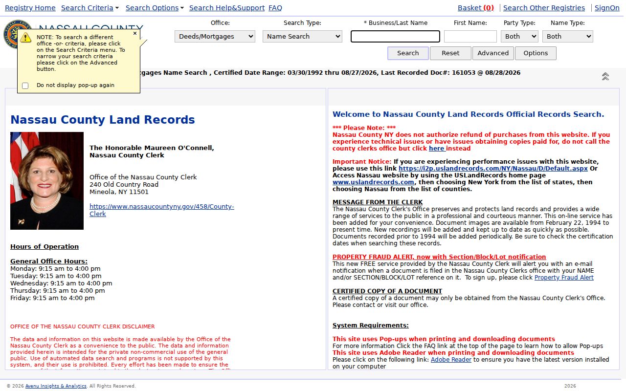
A deed records a conveyance, not occupancy. A mortgage, satisfaction, lien, trust, or estate filing can add context, but none automatically identifies the people who lived at the address.
Oyster Bay Historic Deed Records
Nassau's electronic land-record database dates to July 1992. The separate Nassau Clerk Files portal labels Historic Official Records for 1840–1982. Those dates should not be read as a promise that every historic record has a searchable image online. The research did not establish the exact overlap between systems, an image cutoff, or every older index path. Treat each document as a record-by-record check.
When a chain reaches the electronic cutoff, the practical fallback is the historic portal, Clerk room B-1, the map room, grantor-grantee books, and a document request by SBL. The Clerk guide says certified deed copies may be obtained in person or by mail with Section, Block, and Lot, and describes a $10 certified copy that includes a $5 search fee. The office does not provide ownership information by phone or email, so a specific parcel identifier is important.
The Historic Official Records portal is a distinct route for older Oyster Bay address-history research.
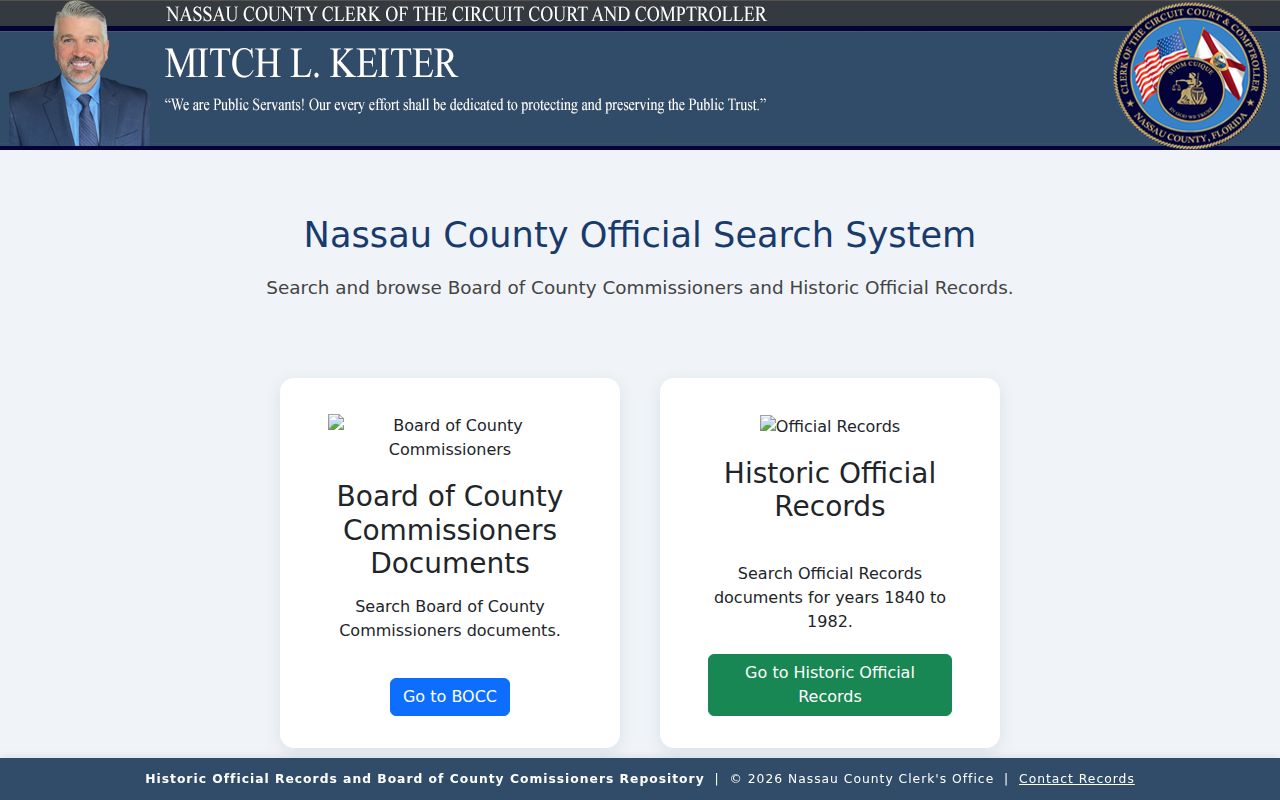
The historic label helps direct a search, but it does not erase gaps. A copied document, map-room record, or Clerk-assisted retrieval may still be needed for an earlier transfer.
Oyster Bay Past Households in Directories
Ownership is only part of the backward trail. City directories and census records can add a household layer, but they should be used as dated evidence rather than a promise of annual occupancy. NYG&B identifies Nassau city-directory leads for 1868–1869 and 1909–1913. HeritageQuest at the Oyster Bay-East Norwich Public Library offers directory material and census images, yet the library does not publish a definitive local directory run or reverse-directory inventory. The historical collections themselves are described in the Oyster Bay directory book.
For an address, look in an available reverse or criss-cross volume first. It may point from a street number to a listed occupant or householder. Search that person in the alphabetical portion and compare the printed address, spouse notation, occupation, and date. Pair the closest directory years with the 1900, 1910, 1920, 1930, 1940, or 1950 census as applicable. A gap should stay a gap until another source supplies evidence.
- Write the legal description, SBL, and historical street form beside the address.
- Find an available directory entry or reverse listing and retain its year and page.
- Compare it with the nearest public census household.
- Use a deed, notice, obituary, cemetery, or probate record to test a move, death, or transfer.
Oyster Bay Maps and Permit Dates
Maps and permits are building clocks. The Library of Congress North Oyster Bay Sanborn map is dated February 1885, and listings identify Oyster Bay sheets for 1891, 1897, 1902, 1909, and 1915. A map can show that a structure or use existed at a point in time. It cannot establish a resident's name, and coverage for every Town community is not confirmed.
The Town Building Portal supports permit applications, payments, responses, inspection scheduling and results. Permit examples can identify an SBL, site address, owner mailing address, contractor details, permit number, and issue date. Use the date to bracket construction or an addition. Do not infer that an applicant, contractor, or mailing contact lived at the location.
The LRV map's historic layers add Nassau 1926 and 1950 mapping, a 2013 aerial, and New York State layers from 2000, 2004, 2007, 2010, and 2013. Parcel and place-boundary layers help bridge a postal label to the right lot and custodian.
Oyster Bay Family History Exception
The Town's 1847–1849 Birth, Marriage & Death Records guide is a local exception to New York's incomplete early statewide record experiment. Oyster Bay preserved the book when there is no surviving statewide collection from the 1847 effort. The guide records 437 births, 117 marriages, and 285 deaths. Its original entries can offer details such as residence, age, occupation, marital status, national origin, and cause of death for death records.
For a family question, the register can connect a name to a Town event or a timeframe that precedes a deed or directory lead. It cannot establish an uninterrupted address history. Town Historian requests for additional information should include a name and date; the publication states that added information is available without charge.
Oyster Bay Records at Trail End
Newspaper notices, cemetery material, and probate records can help explain the last appearance of a past household. The library licenses historical Newsday from 1940–1985 and historical New York Times from 1851–2019, with microfilm and local-history support. A notice can provide a date, relative, address clue, or event. It must still be checked against the source date and the parcel trail. The research did not identify an exhaustive local obituary index or every funeral-home archive.
For estate records, the Nassau County Surrogate's Court handles wills, estates, administration, small estates, adoptions, and guardianship matters. A decedent's full name, approximate death date, and case or index number make a request more specific. Access depends on the case and court rules. Estate papers can name an executor, beneficiary, or distributee, but they do not prove that each named person lived at the Oyster Bay address.
Note: Keep newspaper, probate, and cemetery evidence tied to a specific source and date, because a family relationship is not the same as an address record.
Oyster Bay Records With Limited Scope
Some official systems are purpose-limited and do not belong in a normal house-history workflow. The New York State DOCCS Inmate Lookup covers current and former state-prison records and is searchable by DIN or name and birth year. It is a state-custody record, not an Oyster Bay city directory, a deed index, or a general source for identifying people at an address. Do not use a result to infer where a person lived before or after custody.
The DOCCS lookup is shown here only to distinguish its limited record purpose from address history.
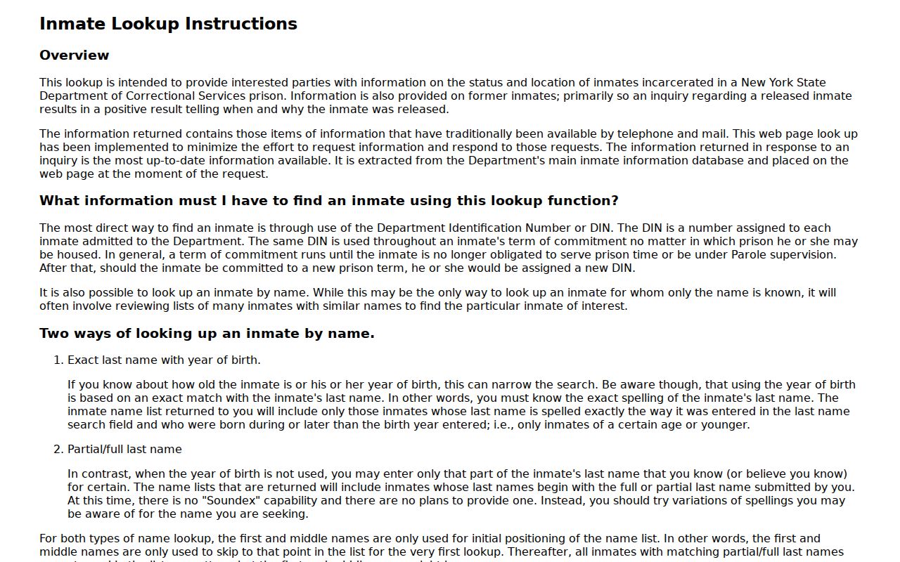
For past residents research, return to dated parcel, deed, directory, census, map, permit, and archival sources that actually connect to the address.
Oyster Bay Address Research Limits
A house history can identify a former owner, a reported household, a map feature, or a building event. Those are different facts. A mailing contact can be outside the parcel's ZIP, a deed grantee can be a trust or estate, and an assessment result does not identify every occupant. Use the SBL and legal description to prevent a similar street number, village label, or subdivision lot from becoming a false match.
Lawful use. Use Oyster Bay address records for family history, property history, civic research, or personal curiosity. Do not seek to identify protected addresses or use any record to stalk, harass, or harm a person.
If a Town record is needed, Town of Oyster Bay FOIL accepts reasonably described requests by mail, email, personal delivery, or fax. Request an existing record series by address, SBL, date range, or permit number. The Town describes a five-business-day acknowledgement, a response within twenty business days, no research fee, and a general copy charge of $0.25 per page. Some personal information or protected addresses may lawfully be withheld.